Start anywhere
Maps
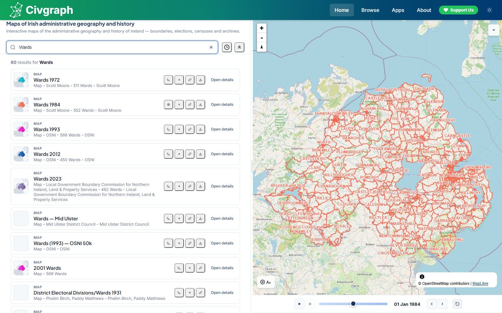
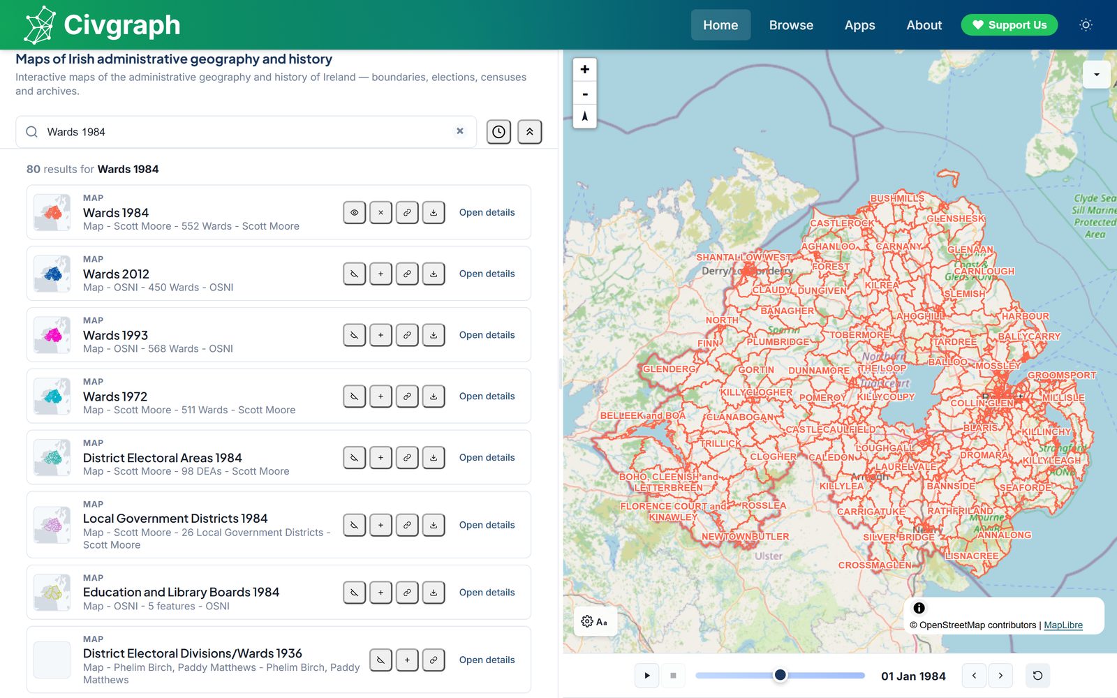
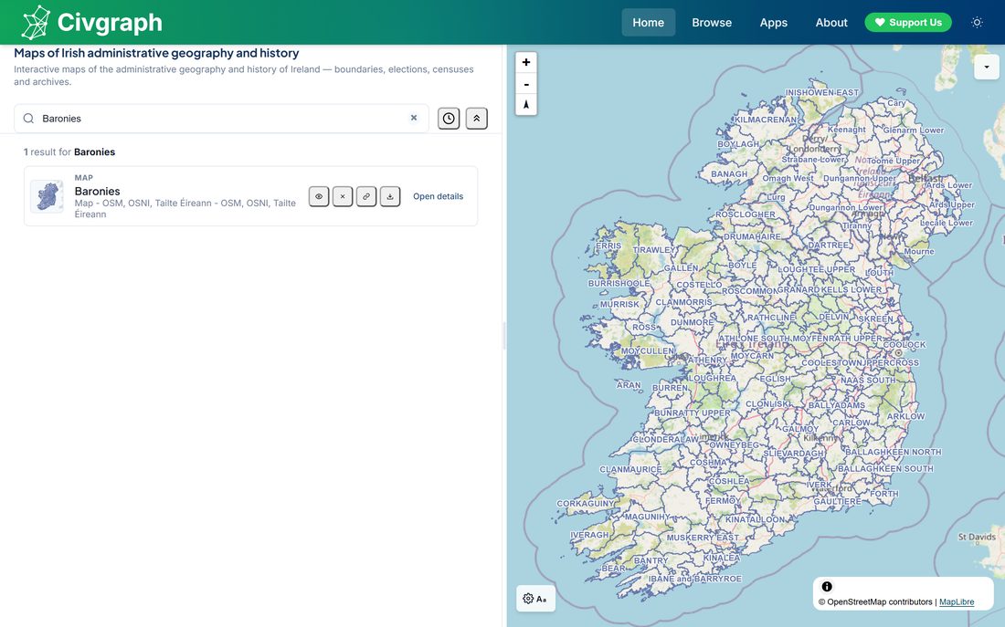
Every boundary layer on one interactive map: wards, districts, constituencies, townlands, baronies, civil parishes - with election results and census data painted onto the boundaries that actually existed at the time.
Open the maps →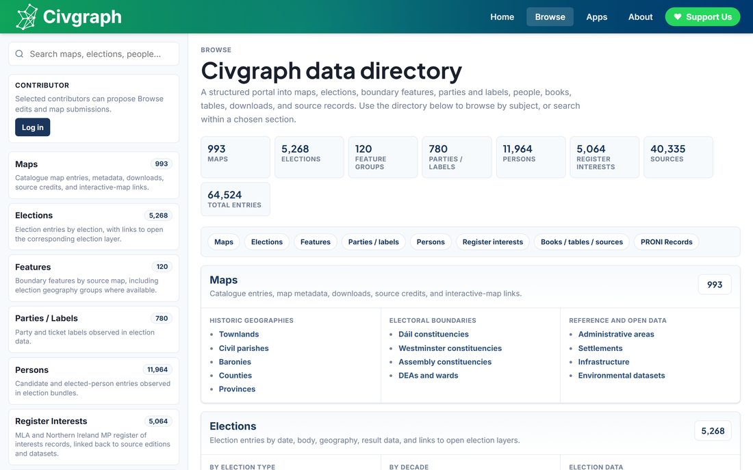
Browse
The catalogue as lists rather than geography: maps, sources, people, parties, and elections, each with a full record of where it came from.
Browse everything →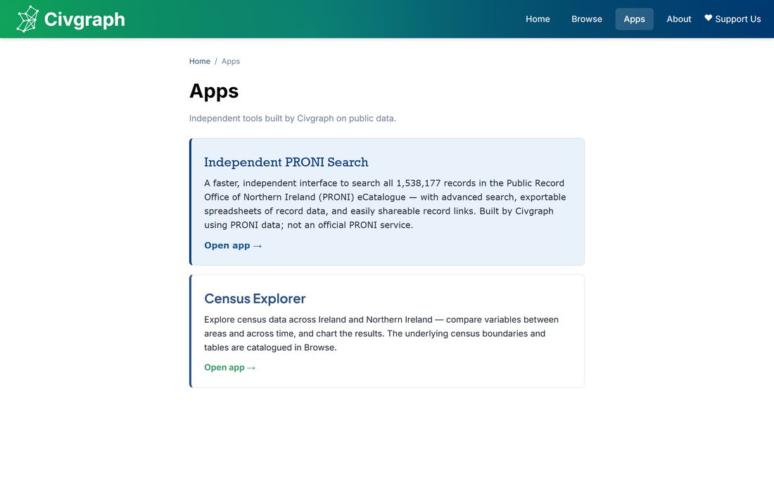
Apps
Focused tools built on the same data: an independent PRONI archive search across all 1,538,177 records in the eCatalogue, with advanced search, exportable spreadsheets and shareable record links. That is the app the site has today. Two more are intended: a census app covering the whole island, bringing NISRA and CSO data together, and an election-focused app that would take in the STV count animation - the transfer-by-transfer replay that currently appears in the results pane rather than standing on its own.
See the apps →Why Civgraph exists
The 1993 and 2012 Northern Ireland ward maps were digitised and publicly available. The 1984 and 1971 ones were not, and neither were most boundary maps between 1920 and 1971. We asked the Ordnance Survey of Northern Ireland and they gave us scanned maps of local government boundaries going back to 1973. However, these weren’t digitised, meaning they couldn’t be viewed easily on an interactive map.
So the boundaries were drawn in QGIS, by combining townlands and copying across identical wards from later time periods, and manually digitised along streets, fences, field edges and rail lines, checked against the scanned maps. That’s where Civgraph started.
The point was comparison. Census boundaries move, wards and constituencies are redrawn every ten to fifteen years, and almost nothing can be compared like-for-like across decades without first knowing exactly which boundaries were in force when. Civgraph has since grown to take in data on elections, candidates, parliamentary records and more. Civgraph holds a mirror of all data from Open Data NI and the Open Data Portal Ireland. The same tools and methods have since been applied south of the border, and Civgraph now holds Republic of Ireland electoral divisions from 1911 to the present, making it a cross-border project rather than a Northern Irish one.
Where it comes from
We aim to update every layer with its provenance: the author, licence, and original source. Open Government Licence material from OSNI and NISRA in the north and Tailte Éireann and the Central Statistics Office in the south, Crown copyright records, volunteer digitisation, and third-party datasets with attribution. Our data is also mirrored to the Internet Archive.
Contribute
Civgraph is built by a small group of volunteers and the work carries on regardless, but we're always looking for people to join, and you can contribute as much or as little as you want. There's no need to know your way around GIS.
You can contribute by:
- Scanning historic maps, books and records, be they openly-licenced or under expired copyright
- Digitising historic maps using tools such as QGIS, so they can be made available on the site
- Finding and reporting bugs on the site, and any errors, mistakes or inaccuracies you find on the site, including in the data and maps
- Finding and cleaning openly-available data you find online
- Helping us with programming and developing the website and the project
- Supporting us with the financial costs of running and building the project
Four specific pieces of work need someone to take them on - historic Local Electoral Areas, town and urban districts, nineteenth-century Electoral Divisions, and Dáil election data - each with an experienced contributor to guide you. They are listed on the About page.
Map submissions go through an approved-contributor list, so the submission form only opens once an email address has been given access. If you would like to submit a map, email scott@civgraph.net and we'll set you up.
Spotted something wrong?
You do not need to be able to use GIS software, and you do not need a corrected map. If you know a boundary, a date, a name or a result is wrong, tell us what it should be and where you know it from, and we'll check it and credit you if you'd like.
To learn more, contact scott@civgraph.net.